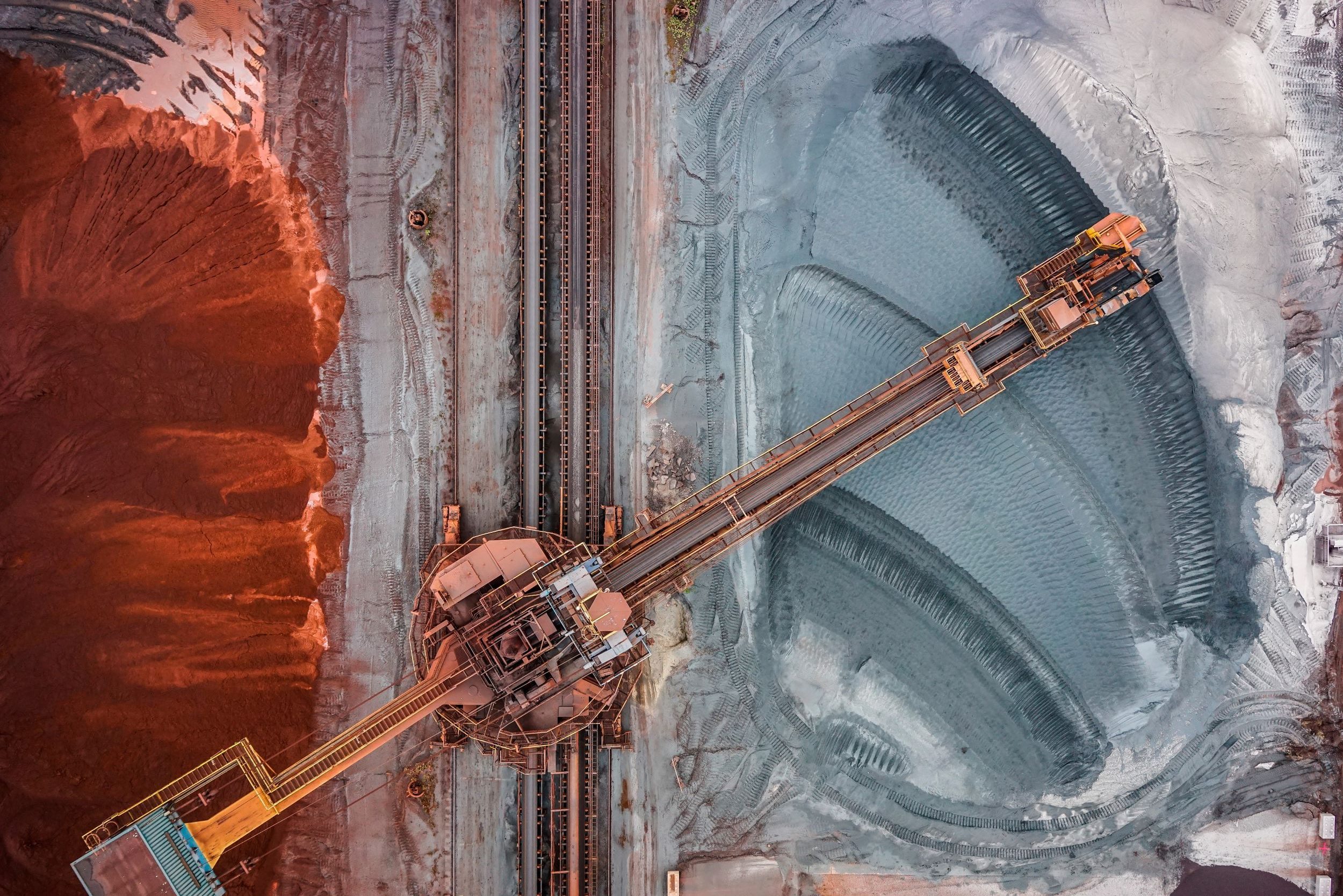
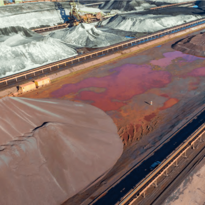
Drones are a key tool for volumetric analysis and stockpile measurements. Using drone technology, stockpiles can be monitored faster, more accurately and in a safer manner than using traditional techniques. Traditionally, stockpile volumetric analysis involves manual, ground based data collection methods which can be time-consuming and potentially dangerous.
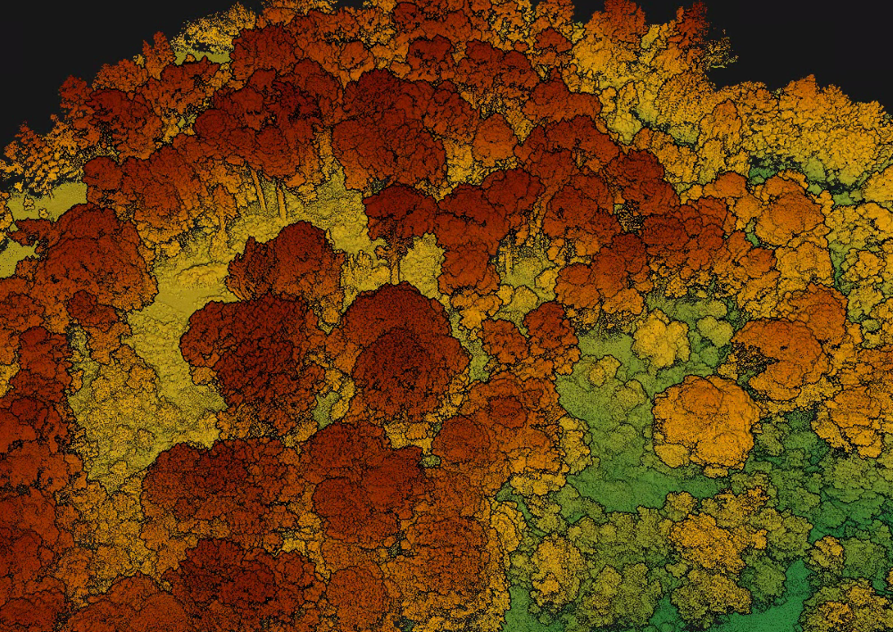
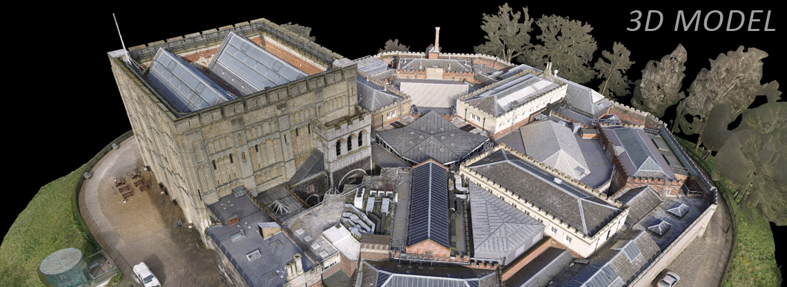
Using aerial photogrammetry, or LiDAR systems, Skeye can provide high-resolution survey maps of stockpiles (less than 1 cm ground sampling distance (GSD)). Using this data, Digital Surface Models can be created, which are utilised for the calculation of stockpile volumes, relative to ground level.


