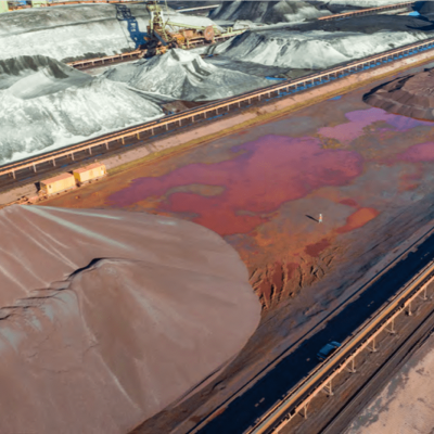
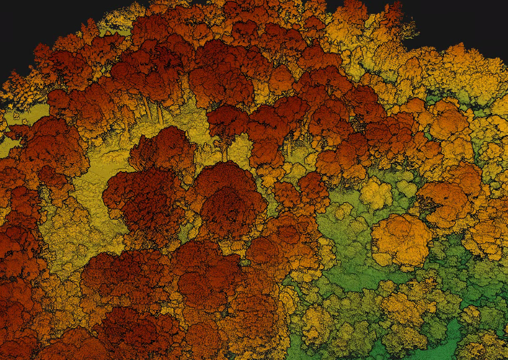
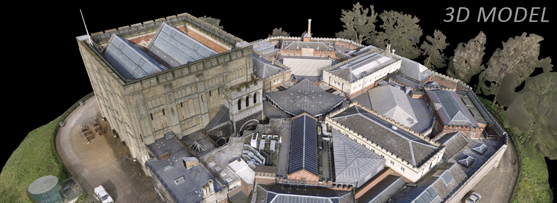
Aerial surveys offer a great way of covering large areas of land, whilst maintaining high resolution and high-quality data.
Skeye use the latest drone and camera technology to fly pre-programmed flights and capture high resolution still imagery. Further data is captured by ground teams to ensure that the data is tied into the correct coordinate system. Full survey verification is performed to provide confidence on the accuracy of the final deliverables.
Skeye is specialised in aerial photography at low heights, with geometrically calibrated cameras. This enables Skeye to obtain all heights of a surveyed terrain.


