Skeye has recently been involved in mapping the Western Sahara Desert.
An 80sqkm area in the South of Morocco, where the Western Sahara meets the shores of the Atlantic Ocean, a new development is planned for a unique facility aiming to become a leader in sustainable production of essential fisheries feed.
In order to realise this plan, the first step for the client was to get a better understanding of the vast area so that detailed designs of the facility could be put in to place.
Skeye were selected to undertake the works using their proposal to map the entire 80sq km area using a drone, as this was the only real solution for a cost effective and safe production of a survey in such remote and hostile conditions.
Morocco does not yet have a permissions structure in place to allow the use of drones, so all projects have to be individually assessed and approved by the authorities, which included the military, regional government and central government. Skeye were able to write a comprehensive safety case and methodology to satisfy the authorities and gain permissions to operate BVLOS missions within the project area at an altitude of 1000ft. Under these conditions 5cm imagery could be captured within 5 days.
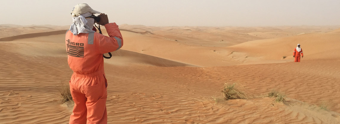
Once permissions were in place a two-man team was deployed to the area where they were met the client representatives in the region. The client team were extremely supportive and made sure that accommodation and resources for the survey team were all in place.
On site UAV operations were subject to high winds which are characteristic of the area but the FlyTech Birdie Fixed-Wing Drone performed well and imagery quality was excellent throughout the capture. The western boundary of the site extended out just beyond the low tide mark and the team had to ensure all intertidal areas were flown at low tide.
All imagery was brought back to the office where the data processing team immediately started on pre-processing the imagery and cross checking the PPK flight positions ready for processing.
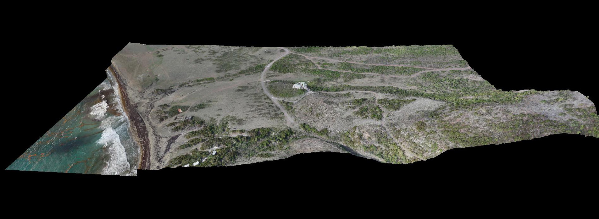
Once the alignment was complete the team continued with the input of all ground control and were able to start building the dense point cloud. From this the classification could occur and a DSM and DTM could be derived. These were exported at various resolutions to satisfy the clients requirements. Finally, the Ortho was created and exported as a series of tiles in TIFF and ECW format at a resolution of 5cm.
https://youtu.be/l7SSlZwK9sU


